GeoAnimator: Map Animation brings cinematic map videos to Android
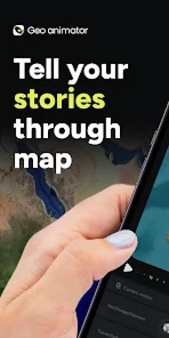
Create timeline-based cinematic map videos with controlled zoom, pitch, rotation, smooth transitions, and region-specific highlights across sequenced scenes. GeoAnimator: Map Animation from Lascade packages a mobile map editor and camera toolset into a multimedia app for Android. The app includes map styles, custom shape tools, overlays, and presets for social formats, aiming at travel vloggers, educators, and documentary makers who need polished geographic visualizations on a device.
What the tool lets creators produce
The app turns geographic data into edited videos by arranging scenes on a timeline and applying camera moves and region effects. The timeline-based editor gives scene-level control over timing and sequencing, while overlays let you add text, photos, and location markers. That combination supports producing short social clips or longer narrated visualizations that show routes, highlight territories, or annotate places for presentations.
What map and export options are available
Map styling and region treatment are explicit creative controls: the app offers satellite, light, and dark map styles plus country fills using solid colors, patterns, flags, or custom images. Tools to merge, cut, or draw shapes let you craft custom territories. These options give authors direct control over how a map looks across a sequence rather than relying on a single static view.
How the interface shapes the workflow
The editor uses a timeline and cinematic presets to guide motion design, so creators work by arranging scenes and selecting camera presets for smooth transitions. Camera controls for zoom, pitch, and rotation are available for manual adjustments. The existence of cinematic presets reduces manual keyframing, while the timeline structure supports precise timing for overlays and route animations.
Performance, accessibility, and ethical concerns
Mobile delivery prioritizes on-device editing but implies practical limits: the app runs on Android devices and requires Android 5.0 or later, which defines the hardware envelope for longer or higher-resolution projects. The developer positions the tool for storytellers; authors should consider responsible attribution of sourced map imagery and markers when publishing documentary or educational material.
A focused creator tool that fits mobile geographic storytelling
GeoAnimator is a capable option for travel creators, educators, and filmmakers who need refined map-based storytelling on Android devices. Its scope favors hands-on scene design rather than quick, automatic visuals; the Android-only delivery and device constraints mean complex productions may still benefit from desktop workflows. For anyone making narrated travel sequences or annotated presentations on a device, it offers deliberate control and publish-ready output formats.